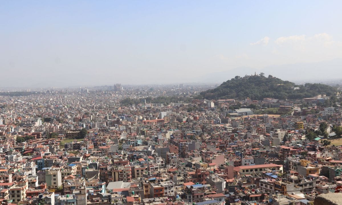
Kathmandu Metropolitan City has digitally mapped 2,040 roads, streets, and lanes using geographical information systems (GIS) and satellite images. This updates the 2001 Kathmandu Valley Mapping Program, which recorded 2,578 roads and lanes.
For greater accuracy, the city has also begun using drone images to map areas unclear in satellite images. The project, which started in December 2024, is being carried out by five GIS engineers and five senior surveyors.
The mapping focuses on creating a complete road inventory, scientific naming of roads, and documenting infrastructure. It aims to improve waste management, traffic control, and emergency services while also helping the revenue department implement a scientific tax system.
Additionally, the data will support heritage and tourism promotion. Future plans include standardizing road names, integrating the mapped roads with existing databases, and collecting detailed data on road-connected structures and infrastructure.